フォトプリントについて
販売:
このデザインについて
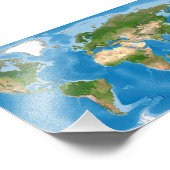
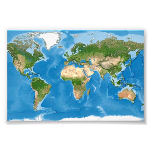
Topographic World Map Earth Illustration フォトプリント
This detailed world map illustration features realistic topographic coloring that highlights Earth’s natural terrain and elevation. Continents are rendered in rich greens, browns, and tans to reflect vegetation, mountains, and deserts, while deep and shallow ocean blues add depth and contrast. The design offers a clean, informative, and visually striking representation of the planet, ideal for geography lovers, educators, and earth science enthusiasts.
カスタマーレビュー
この商品についてのレビューは、まだありません。この商品を購入しましたか?
タグ
その他の情報
商品 ID: 256888871371835917
出品日: 2026/1/12 4:09
レーティング: G
最近閲覧された商品