フォトプリントについて
販売:
このデザインについて
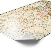
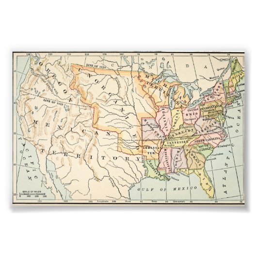
United States 1830 Historical Map Illustration フォトプリント
This historical United States 1830 map illustration showcases early American borders, territories, and states in soft vintage tones. Detailed rivers, latitude lines, and classic typography reflect authentic 19th-century cartography. From the Mississippi River to unorganized western territories, this artwork captures a pivotal moment in American history. Ideal for history enthusiasts, educators, and lovers of antique maps and early Americana aesthetics.
カスタマーレビュー
この商品についてのレビューは、まだありません。この商品を購入しましたか?
タグ
その他の情報
商品 ID: 256844658640540749
出品日: 2026/1/5 8:14
レーティング: G
最近閲覧された商品