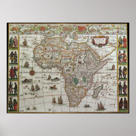
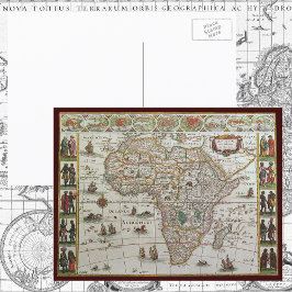
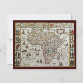
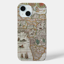
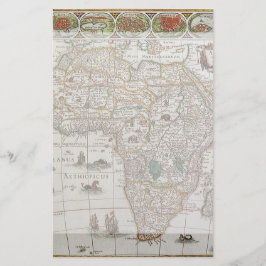
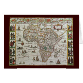
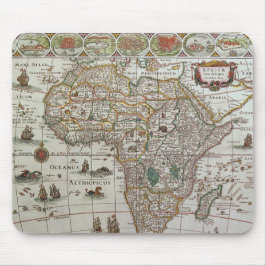
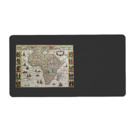
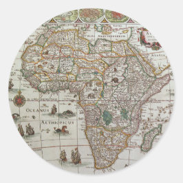
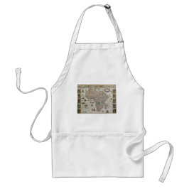
Antique Map of Africa by Willem Jansz Blaeu, c1635
Vintage illustration antique world map featuring the continent of Africa and the island of Madagascar. By cartographer Willem Jansz Blaeu (1571-1638) in c. 1635. Willem Janszoon Blaeu was a Dutch cartographer, atlas maker and publisher. The Atlantic and Indian Oceans have ships sailing the seas to travel and navigate the globe. Surrounding this international African chart are people dressed in native costumes and along the top edge are smaller city maps. More designs and products available, please browse my store and email special requests to masterpiececafe@gmail.com
結果:38 件
アンティーク旧世界地図アフリカbyブラウ, c.1635 招待状
売値 ¥254. 元値 ¥338.
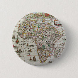
アンティーク旧世界アフリカの地図, c.1635 缶バッジ
価格¥1,023
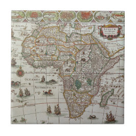
アンティーク旧世界地図アフリカbyブラウ, c.1635 タイル
価格¥2,425
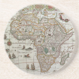
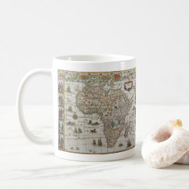
1635年頃のブラエウによるアフリカの古地図 コースター
価格¥1,850
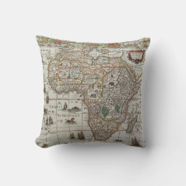
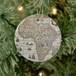
1635年頃のブラエウによるアフリカの古地図
売値 ¥600. 元値 ¥666.
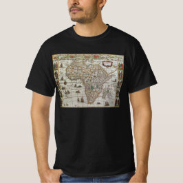
Blaeuによるアフリカの古地図、1635年頃 Tシャツ
価格¥3,618
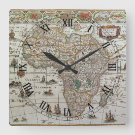
1635年頃のブラエウによるアフリカの古地図 スクエア壁時計
価格¥8,225
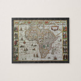
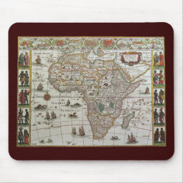
1635年頃のアフリカの古地図 ジグソーパズル
価格¥3,300
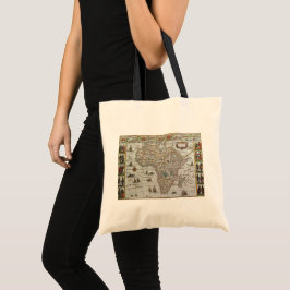
Blaeu作 アフリカの古地図(1635年頃) トートバッグ
価格¥3,375
Blaeuによるアフリカの古地図(1635年頃) ラウンドシール
価格¥2,250
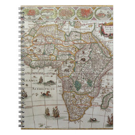
Blaeuによるアフリカの古地図、1635年頃 ノートブック
価格¥1,950
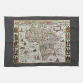
1635年頃のブラエウによるアフリカの古地図 キッチンタオル
価格¥3,100
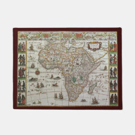
1635年頃のブラエウによるアフリカの古地図 ドアマット
価格¥6,466
YesterdayCafeのその他の注目コレクション