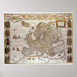
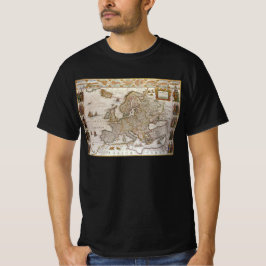
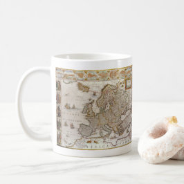
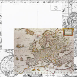
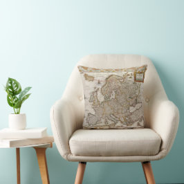
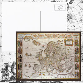
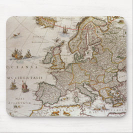
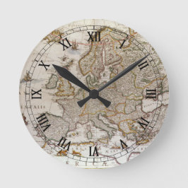
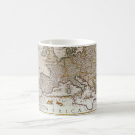
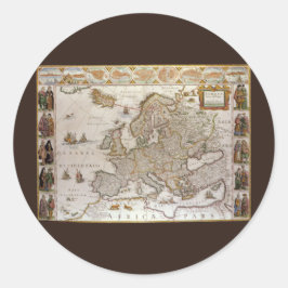
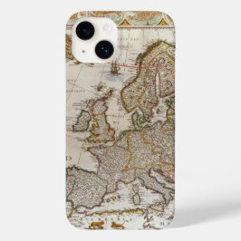
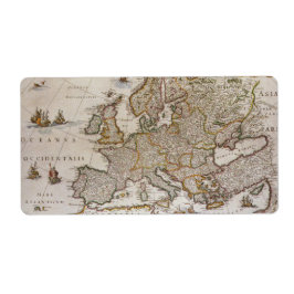
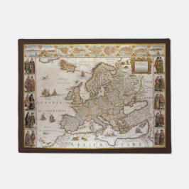
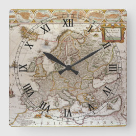
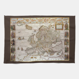
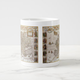
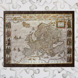
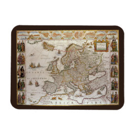
Antique Map of Europe by Willem Jansz Blaeu, c1617
Vintage illustration antique world map featuring the different countries on the European continent and some surrounding areas of Africa, Asia and the Atlantic Ocean, c. 1617. This chart is surrounded by city scenes and people dressed in traditional costumes. Cartography by Willem Jansz Blaeu (1571-1638). Willem Janszoon Blaeu was a Dutch cartographer, atlas maker and publisher. More designs and products available, please browse my store and email special requests to masterpiececafe@gmail.com
結果:37 件

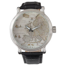

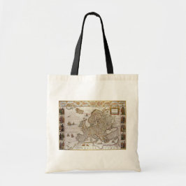
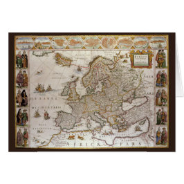
アンティークヨーロッパの地図Willem Jansz Blaeu, c1617
売値 ¥600. 元値 ¥666.

YesterdayCafeのその他の注目コレクション