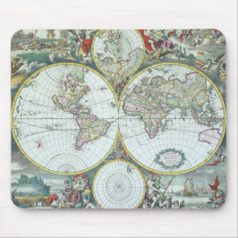
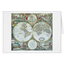
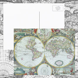
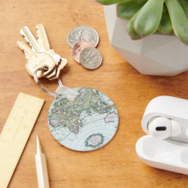
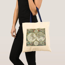
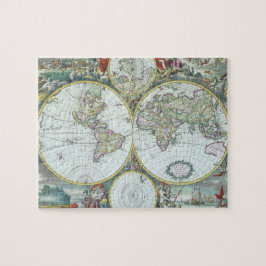
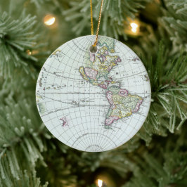
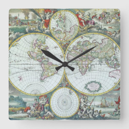
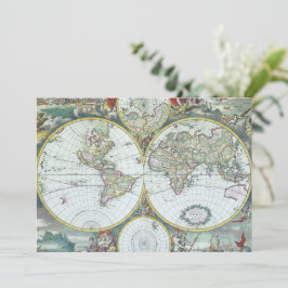
Antique World Map by Frederick De Wit, 1668
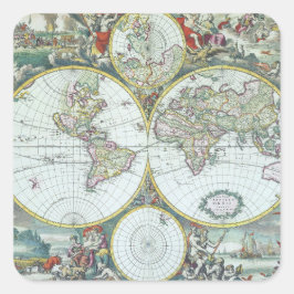
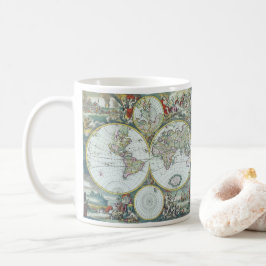
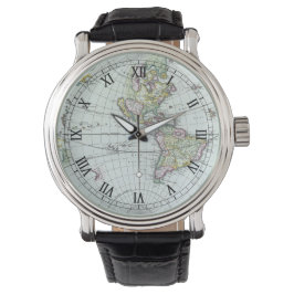
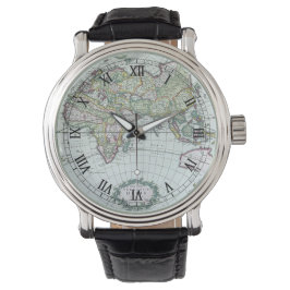
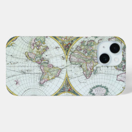
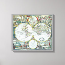
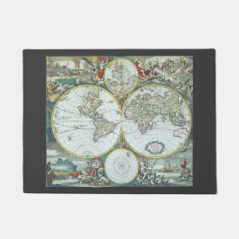
Vintage illustration antique world map by Frederick De Wit, 1668. Nova Totius Terrarum Orbis Tabula. The double hemispheres feature the island of California and shorelines of western Australia and New Zealand, Southeast Asia, and includes Terra Esonis, the mythical land bridge which virtually connects Japan and California. The scenes surrounding the map are by Dutch artist Romeyn de Hooghe and represent the four elements. Fire is shown by war and destruction; air by the heavens; earth by harvesting and husbandry; and water by ships, a spouting whale and mermaids. There are groups of figures between the hemispheres and polar projection maps are above and below the atlas. More designs and products available, please browse my store and email special requests to masterpiececafe@gmail.com
結果:28 件
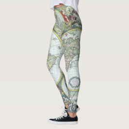
17世紀 アンティーク世界地図 フレデリック・デ・ウィット レギンス
価格¥11,425
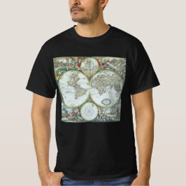
17世紀の古地図 フレデリック・デ・ウィット Tシャツ
価格¥3,618
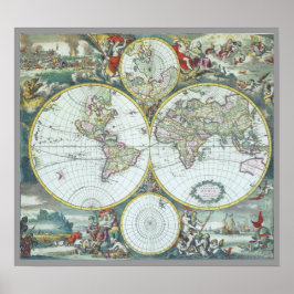
17世紀アンティーク世界地図フレドリック・ド・ウィット ポスター
価格¥10,100
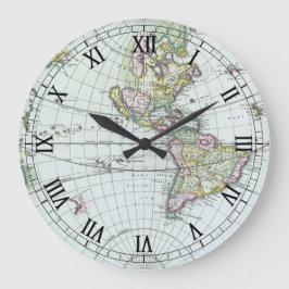
17世紀の古地図 フレデリック・デ・ウィット ラージ壁時計
価格¥8,225
17世紀のアンティーク世界地図、フレデリック・デ・ウィット 腕時計
価格¥17,400
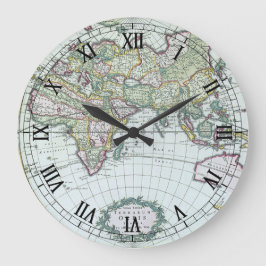
17世紀の古地図 世界地図、フリードリヒ・デ・ウィット 腕時計
価格¥17,400
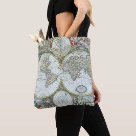
17世紀の古地図 世界地図、フレデリック・ド・ウィット
売値 ¥600. 元値 ¥666.

17世紀の古地図 世界地図、フリードリヒ・ド・ウィット 名刺
価格¥4,500
17世紀の古地図 世界地図、フレデリック・デ・ウィット 招待状
売値 ¥294. 元値 ¥392.
YesterdayCafeのその他の注目コレクション