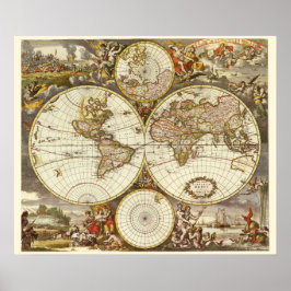
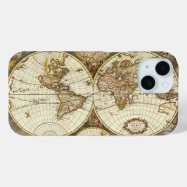
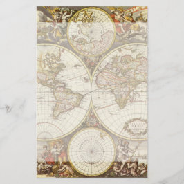
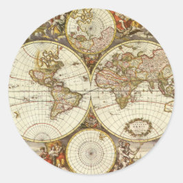
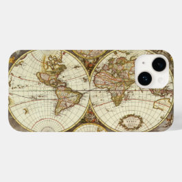
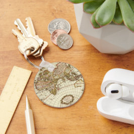
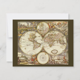
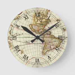
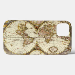
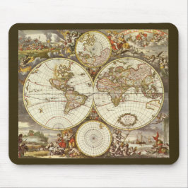
Antique World Map by Frederick de Wit, c. 1680
Vintage illustration antique world map featuring both hemispheres, c. 1680. By cartographer Frederick de Wit (1629/30-1706). Frederick de Wit was a dutch print and map seller. Terrarum Orbis. This antique map features the Eastern and Western Hemispheres as well as the north and south poles. The baroque style illustrations in the corners represent the four elements: Fire with Pluto carrying off Persephone, attended by Cerberus, the three-headed guardian of Hades, as a battle scene rages in the background; Air as the heavenly realm ruled by Zeus and Hera, who are surrounded by winged creatures and other gods; Water with the sea god Neptune, mermen, a spouting whale, and sailing ships in the distance; and Earth represented by a scene with fauns presenting three goddesses with fruits of the harvest and livestock. More designs and products available, please browse my store and email special requests to masterpiececafe@gmail.com
結果:63 件


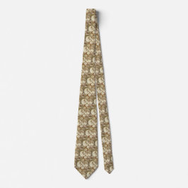
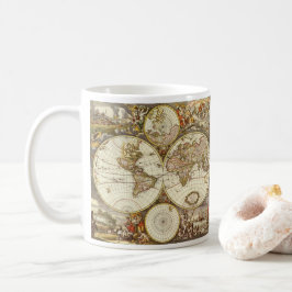
フリードリヒ・ド・ウィットによる古世界地図、1680年頃 レギンス
価格¥11,425

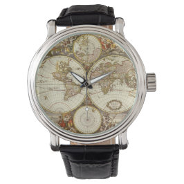
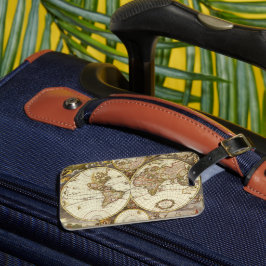
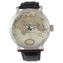
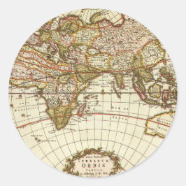
フリードリヒ・ド・ウィットによる古世界地図、1680年頃
価格¥4,500
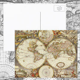

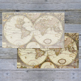
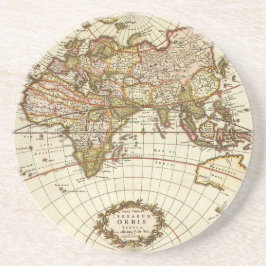
フリードリヒ・ド・ウィットによる古世界地図、1680年頃 招待状
売値 ¥254. 元値 ¥338.

YesterdayCafeのその他の注目コレクション