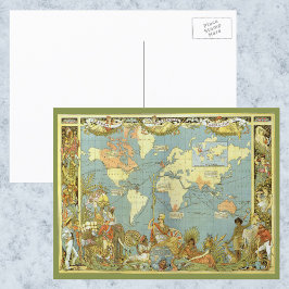
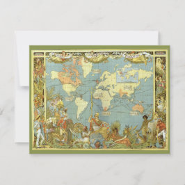
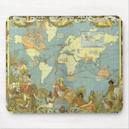
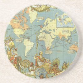
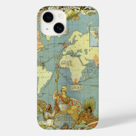
Antique World Map of the British Empire, 1886
Vintage illustration antique world map featuring the British Empire, 1886, marked in the traditional color for imperial British dominions on maps. The text in the top banners reads Freedom, Fraternity, Federation and the map is surrounded by people and animals representing the international diversity of the globe. Artist: Walter Crane. The British Empire comprised the dominions, colonies, protectorates, mandates and other territories ruled or administered by the United Kingdom. It originated with the overseas colonies and trading posts established by England in the late 16th and early 17th centuries and at its height, it was the largest empire in history. More designs and products available, please browse my store and email special requests to masterpiececafe@gmail.com
結果:52 件
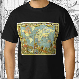
1886年イギリス帝国古地図 Tシャツ
価格¥3,618

アンティーク大英帝国の世界地図, 1886 ポスター
価格¥8,375
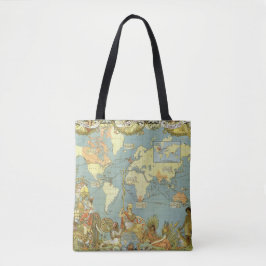
1886年の旧世界地図 - イギリス帝国 トートバッグ
価格¥6,500
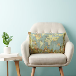
アンティーク大英帝国の世界地図, 1886 ランバークッション
価格¥10,450
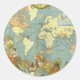
1886年イギリス帝国古地図 ラウンドシール
価格¥2,250
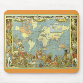
アンティーク大英帝国の世界地図, 1886 マウスパッド
価格¥2,150
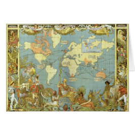
アンティークイギリス帝国招待状の世界地図 招待状
売値 ¥254. 元値 ¥338.
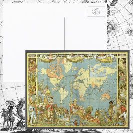
1886年イギリス帝国古地図 ポストカード
価格¥253
アンティーク大英帝国の世界地図, 1886 マウスパッド
価格¥2,150
アンティーク大英帝国の世界地図, 1886 ジグソーパズル
価格¥3,300
アンティーク大英帝国の世界地図, 1886 マグカップ
価格¥3,300
アンティーク大英帝国の世界地図, 1886 キャンバスプリント
価格¥19,975
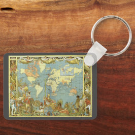
アンティーク大英帝国の世界地図, 1886 キーホルダー
価格¥2,650
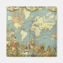
アンティーク大英帝国の世界地図, 1886 コースター
価格¥1,850
アンティーク大英帝国の世界地図, 1886 マグネット
価格¥1,125
アンティーク大英帝国の世界地図, 1886
売値 ¥600. 元値 ¥666.

1886年のイギリス帝国 古地図, 1886 名刺
価格¥5,525
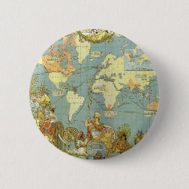
アンティーク大英帝国の世界地図, 1886 缶バッジ
価格¥1,023
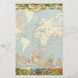
アンティーク大英帝国の世界地図, 1886 便箋
価格¥149
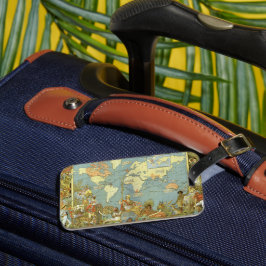
アンティーク大英帝国の世界地図, 1886 ラゲッジタグ
価格¥3,300
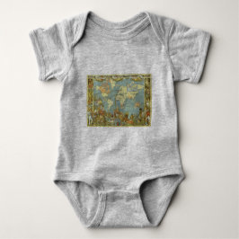
アンティーク大英帝国の世界地図, 1886 ベビーボディスーツ
価格¥3,000
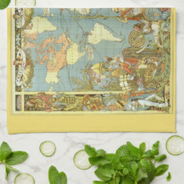
アンティーク大英帝国の世界地図, 1886 キッチンタオル
価格¥3,100
YesterdayCafeのその他の注目コレクション