Hawaiian Islands Nautical Charts and Maps
Hawaiian Islands nautical charts and maps collection contains mostly NOAA nautical charts. The original NOAA paper nautical charts cover the Hawaiian Islands coast. However, these chats are being phased out by NOAA. Each nautical chart in this collection has been digitally altered and enhanced to achieve the best possible presentation for the store’s products. In some cases, the chart’s modifications include cropping the image, relocating the title, or removing the borders that contain navigation notes. These Hawaiian Islands maps and charts are not suitable for navigation. However, they are well-suited for a number of nautical decor purposes including river house decor, beach house decor, and coastal living decor. The products in the collection make ideal house-warming gifts. Many of these products are ideal for living area decor, bathroom decor, and business decor. These designs are customizable. You can also select other products not shown with this design and make your own creation.
結果:5 件
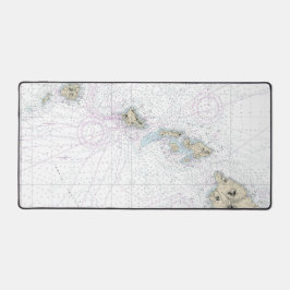
ハワイアン航海の諸島図19004 デスクマット
価格¥5,550
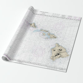
ハワイアン航海の諸島図19004 ラッピングペーパー
価格¥6,250
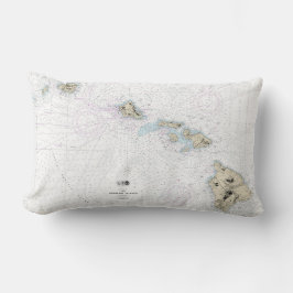
ハワイアン航海の諸島図19004 ランバークッション
価格¥10,300
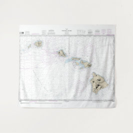
ハワイアン航海の諸島図19004 タペストリー
価格¥11,314
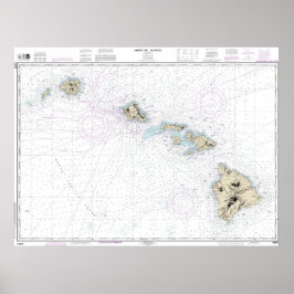
ハワイアン航海の諸島図19004 ポスター
価格¥15,525
NauticalChartsのその他の注目コレクション
最近閲覧された商品