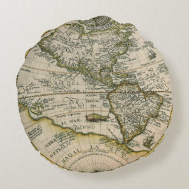
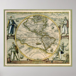
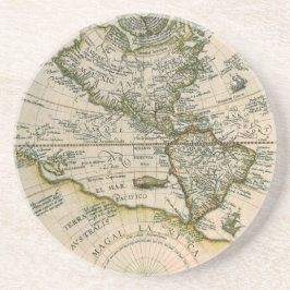
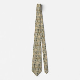
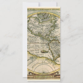
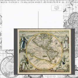
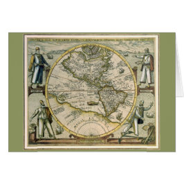
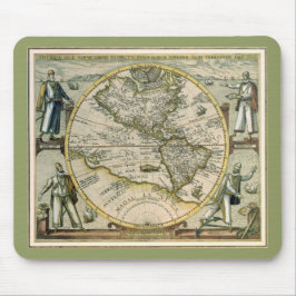
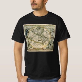
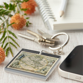
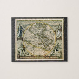
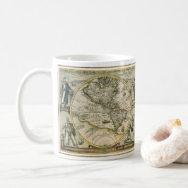
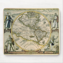
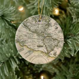
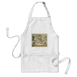
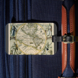
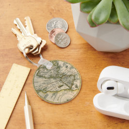
Map of the Americas by Theodorus de Bry, 1596
Vintage illustration antique world map featuring the Americas, 1596 by cartographer Theodorus de Bry (1528-1598). Theodore de Bry’s 1596 map, America sive Novus Orbis, America or the New World, identifies North America as “America Mexicana” and South America as “America Peruana.” These geographical names reflect the late sixteenth-century dominance of Spanish power in the Americas. Also featured are the Atlantic and Pacific oceans and Antarctica in the southern hemisphere. People surround the map, presumably four explorers reading maps to help the ships navigate and safely travel the seas. More designs and products available, please browse my store and email special requests to masterpiececafe@gmail.com
結果:39 件
「新大陸図」1596年 ラウンドクッション
価格¥11,675
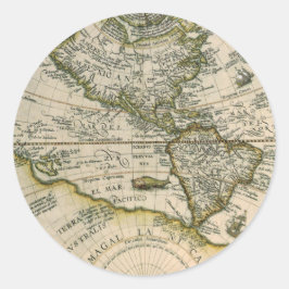
1596年アメリカ図、または新世界 ラウンドシール
価格¥2,250
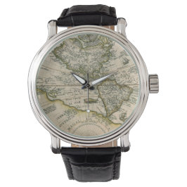
アメリカ・シヴェ・ノウス・オルビス、1596年 古地図 腕時計
価格¥17,400
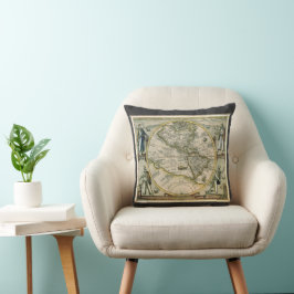
1596年アメリカ図、新大陸 クッション
価格¥9,275
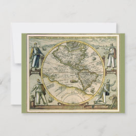
古地図、1596年、アメリカシブ・ノーブス・オルビス 招待状
売値 ¥254. 元値 ¥338.
「新大陸図」1596年
価格¥476
アンティークの地図, 1596, America Sesive Novus Orbis
売値 ¥600. 元値 ¥666.
1596年アメリカ図、新大陸 マウスパッド
価格¥2,150
古地図 1596年 アメリカ・シヴェ・ノヴス・オルビス Tシャツ
価格¥3,618
1596年アメリカ図、新大陸の地図 マウスパッド
価格¥2,150
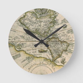
1596年アメリカ図、新大陸 ラウンド壁時計
価格¥7,275
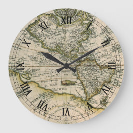
1596年アメリカ図、新大陸 ラージ壁時計
価格¥8,225

1596年アメリカ図、新大陸の地図 トートバッグ
価格¥3,375
YesterdayCafeのその他の注目コレクション