概要
Welcome to Terra Prints - Classic, America's finest selection of antique maps, held in original form by the U.S. Library of Congress, digitized via state of the art, high resolution flatbed scanners and reproduced here using the finest archival inks and paper available.
Our selection includes: Ancient World Maps; Panoramic "Bird's eye view" American and Canadian City Maps; Victorian Era Map Illustrations and Murals; All Terra Prints - Classic products are available in sizes ranging from portfolio prints, perfect for executive gifts and office walls, to colossal murals suitable for large lobbies, foyers and museum exhibits.
Additionally, you can choose from an endless array of custom framing and printing material options.
更に見る
カテゴリ
全てのカテゴリを見るBest Selling Antique World Maps
全ての注目コレクションを見る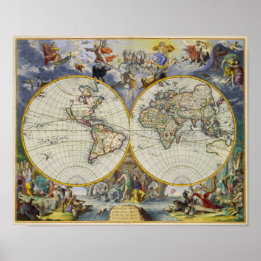
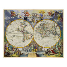
2つの半球の世界古代の地図1683 ポスター
価格¥5,100
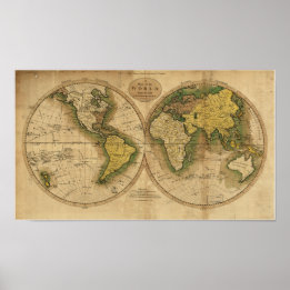
アンティーク世界地図 – 1795 ポスター
価格¥5,325
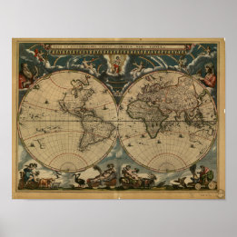
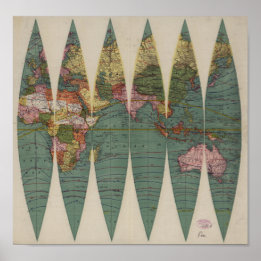
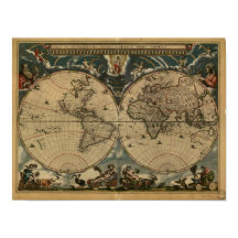
古代の世界地図 – 1664 ポスター
価格¥5,425
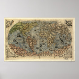
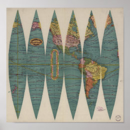
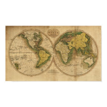
アンティーク世界地図1565年現在 ポスター
価格¥5,675
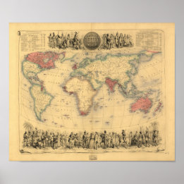
アンティークの地図 – イギリス帝国1850 ポスター
価格¥4,925


商品
全ての商品をみる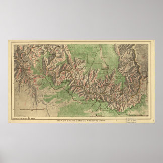
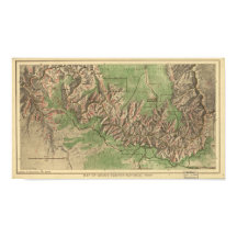
グランドキャニオン国立公園の地図1926 ポスター
価格¥11,350
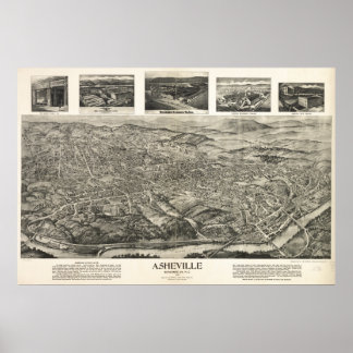
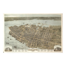
アッシュビルN.カロライナ1912アンティークパノラママップ ポスター
価格¥13,000


アンティークの地図 – イギリス帝国1850 ポスター
価格¥4,925
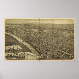
ウィルクスバーレペンシルバニア1889アンティークパノラマ ポスター
価格¥12,225
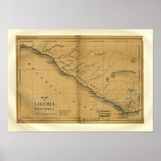
リベリア、西アフリカ1830年のアンティーク地図 ポスター
価格¥5,825
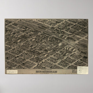
バーミンガムアラバマ1904パノラママップ ポスター
価格¥11,225
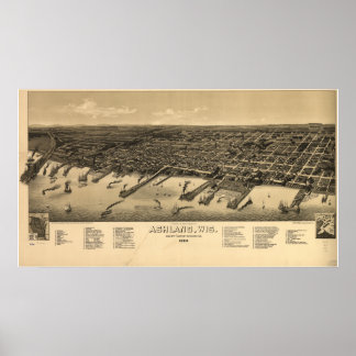
アシュランドウィスコンシン1886アンティークパノラママップ ポスター
価格¥11,100
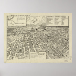
ウィンチェスターバージニア1926アンティークパノラママップ ポスター
価格¥12,200
最近売れた商品
全ての商品をみる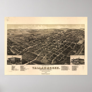
タラハシー・フロリダ1885パノラママップ ポスター
価格¥12,625
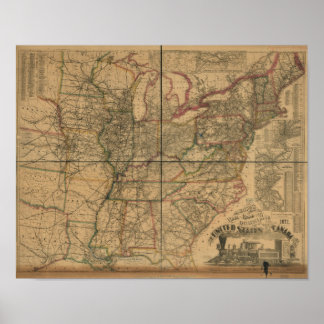
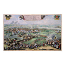
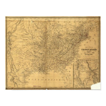
1871年アメリカ・カナダの鉄道と距離地図 ポスター
価格¥5,150
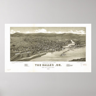
ザダレスオレゴン1884アンティークパノラママップ ポスター
価格¥11,200
アンティークの地図 – イギリス帝国1850 ポスター
価格¥4,925
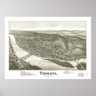
ティネスタペンシルバニア1896アンティークパノラママップ ポスター
価格¥12,275
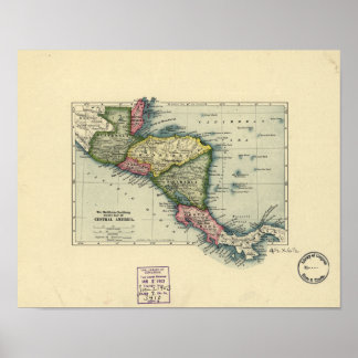
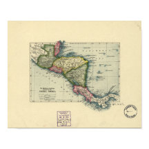
アンティーク中央アメリカの地図 – 1902 ポスター
価格¥5,150
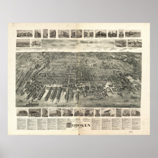
ホボケンニュージャージー1903アンティークパノラママップ ポスター
価格¥11,250
