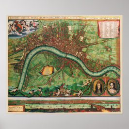
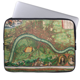
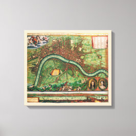
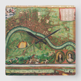
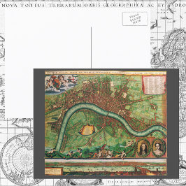
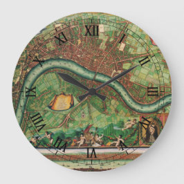
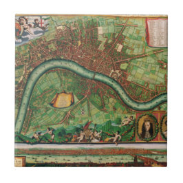
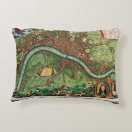
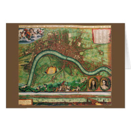
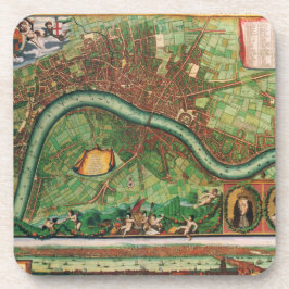
Antique London, England Street Map Johannes de Ram
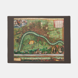
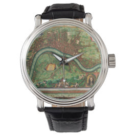
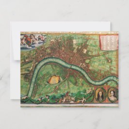
Vintage illustration antique map of London, England by Johannes de Ram, 1689. Londini Angliae Regni Metropolis Delineatio Novissima & Accuratissima Autore Ioanne De Ram. United Kingdom, Great Britain. The map includes a 10 point key in the top left corner bearing the names of Southwark landmarks, and a 148 point key in the top-right with the names of locations on the other side of the Thames River. The smaller title contained in a classical cartouche; the arms of London with dragon supporters. The bottom right has portraits of William and Mary, along the bottom is a view of London and the Thames River shortly after the fire. The map celebrates King William III and Queen Mary II's ascent to the English throne after the Glorious Revolution giving the country a Dutch monarch. More designs and products available, please browse my store and email special requests to masterpiececafe@gmail.com
結果:28 件
17世紀の英国ロンドン古地図 ポスター
価格¥10,100


ヨハネス・ド・ラムによる古いロンドンの地図、1689年 招待状
売値 ¥254. 元値 ¥338.

ヨハネス・ド・ラムによる古いロンドンの地図、1689年 Tシャツ
価格¥3,618
ヨハネス・ド・ラムによる古いロンドンの地図、1689年 招待状
売値 ¥254. 元値 ¥338.


ヨハネス・ド・ラムによる古いロンドンの地図、1689年 レギンス
価格¥11,425


ヨハネス・ド・ラムによる古いロンドンの地図、1689年 タイル
価格¥2,425


17 Century Antique London Street Map
売値 ¥600. 元値 ¥666.
YesterdayCafeのその他の注目コレクション